ELEVATION: 4,447 ft

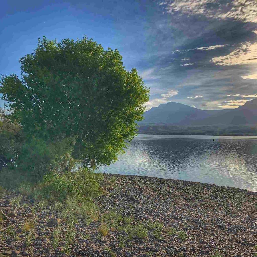
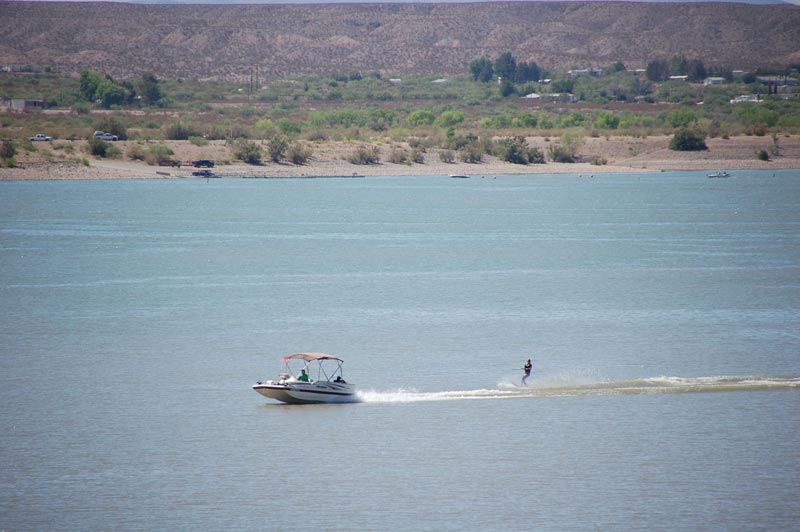
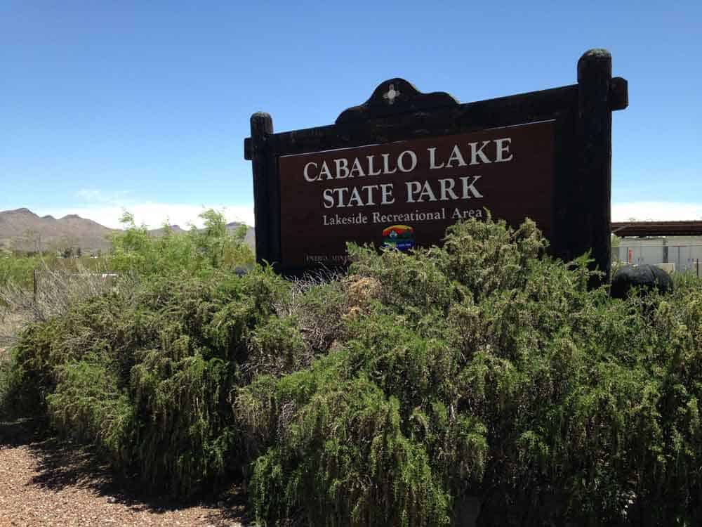
Located 20 miles downstream from Elephant Butte, with the majestic Caballo mountains serving as a backdrop, Caballo Lake offers facilities for RVs, tent camping, boating or kayaking, fishing, and hiking.
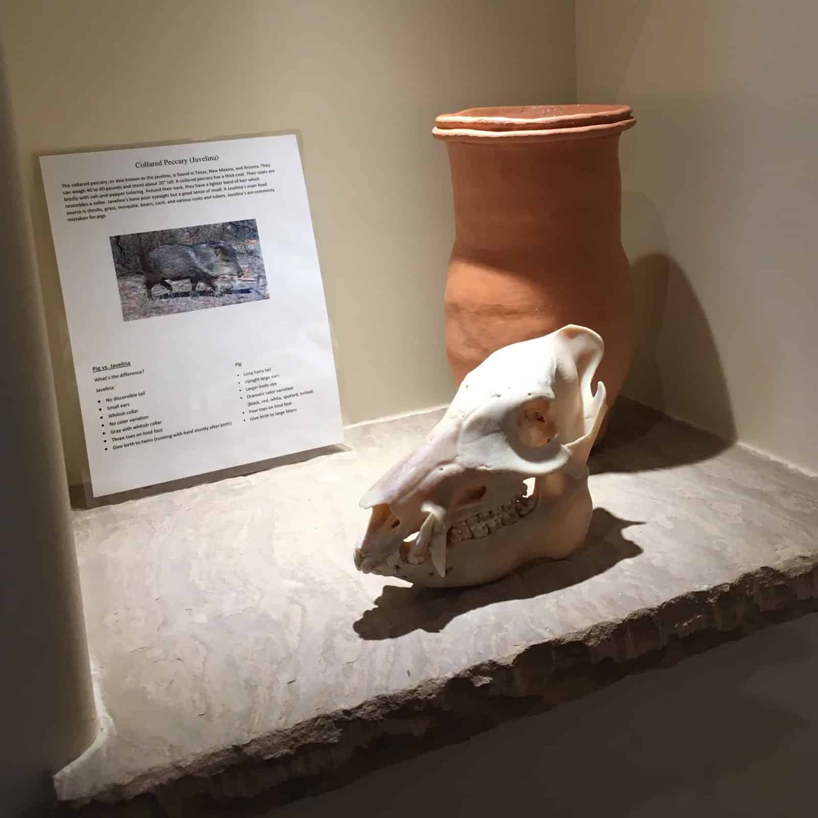
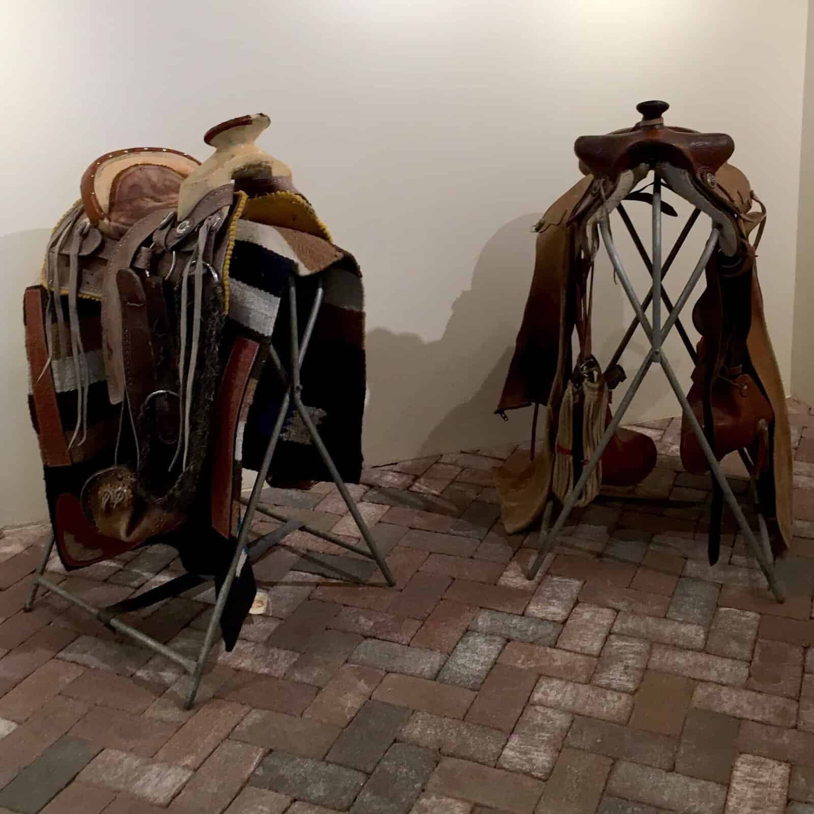
Amenities at Caballo State Park include a beach (camping allowed), boat docks and boat ramps, 4 campgrounds, group campsites and a group picnic shelter, a playground, exhibits at the Visitor Center, restrooms with water, showers and toilets, and a dump station at Palomino Campground.
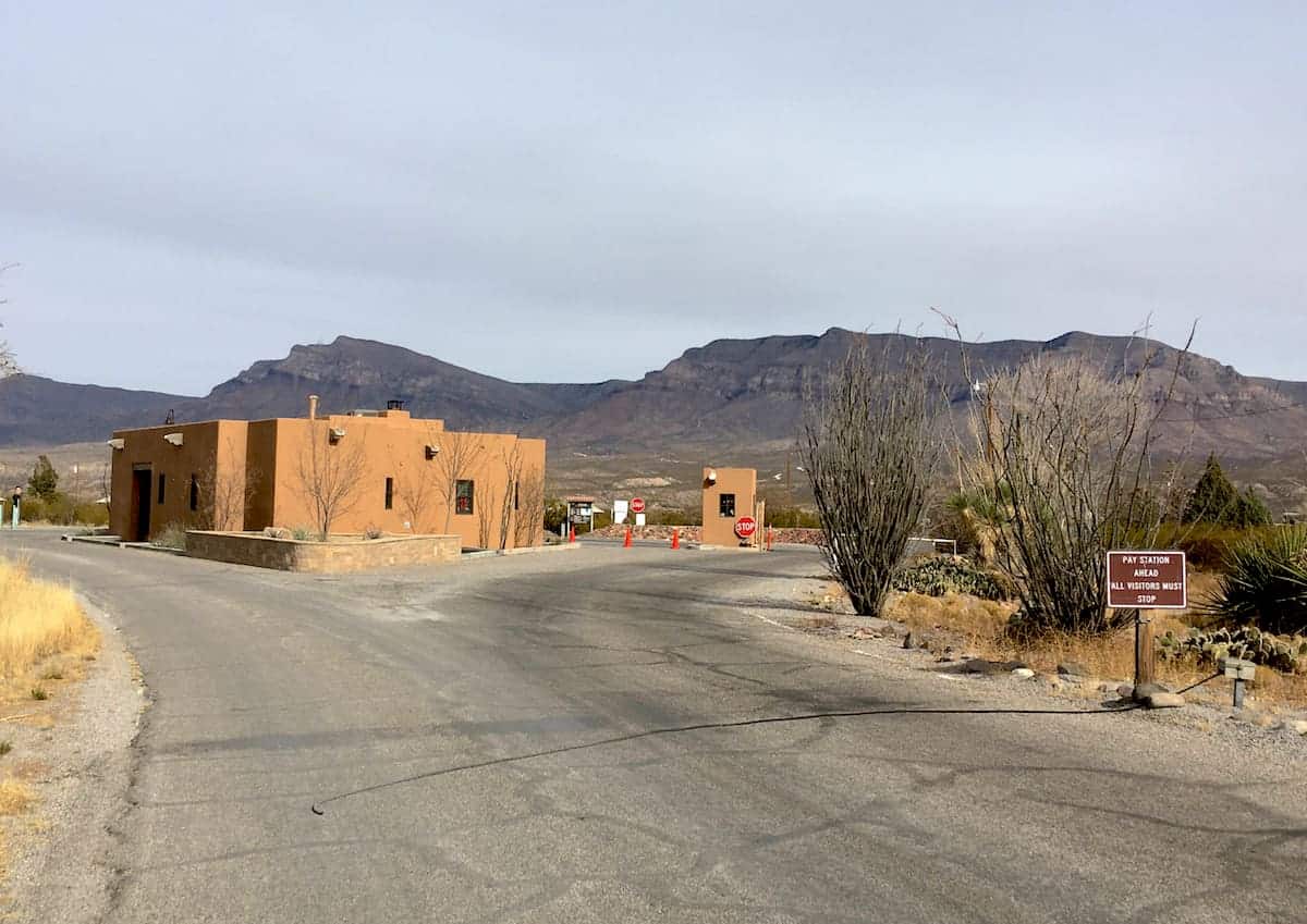
The park is located 16 miles south of Truth or Consequences. It is accessible via old Highway 187, or from I25 take Exit 59.
EV charging stations are available next to the Visitor Center.
Events at Caballo Lake State Park
Check with the park entry gate or visitor center for a complete list of events at the lake.