From the waters of Elephant Butte and Caballo Lakes to the trails of the Gila Wilderness, Sierra County invites adventure seekers to hike, bike, fish, camp, and explore year-round. Our mild climate and rich natural beauty make us the perfect destination for those looking to connect with the great outdoors.
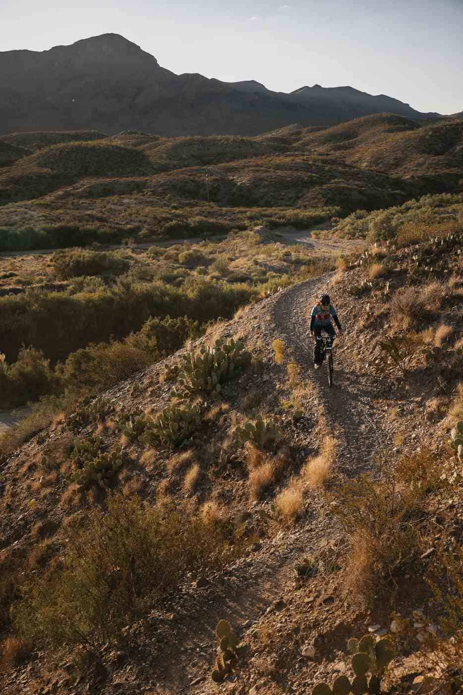
Biking: Mountain, Road and Street
Roads and trails are ridable year-round, dependent on occasional inclement weather or roadwork.
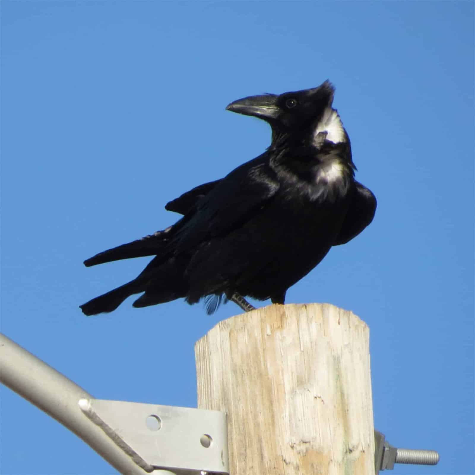
Birding
Located along a major migration path, Sierra County offers some of the best birding in the nation.
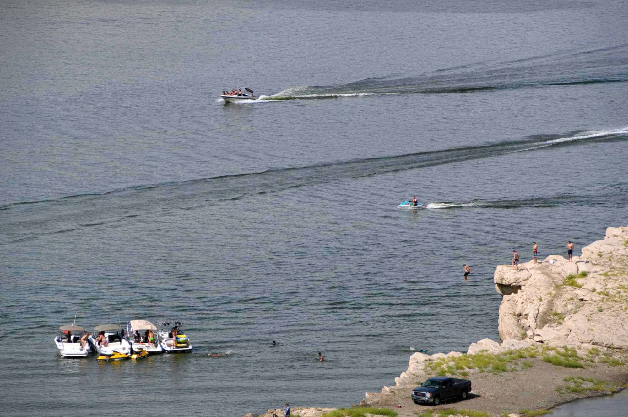
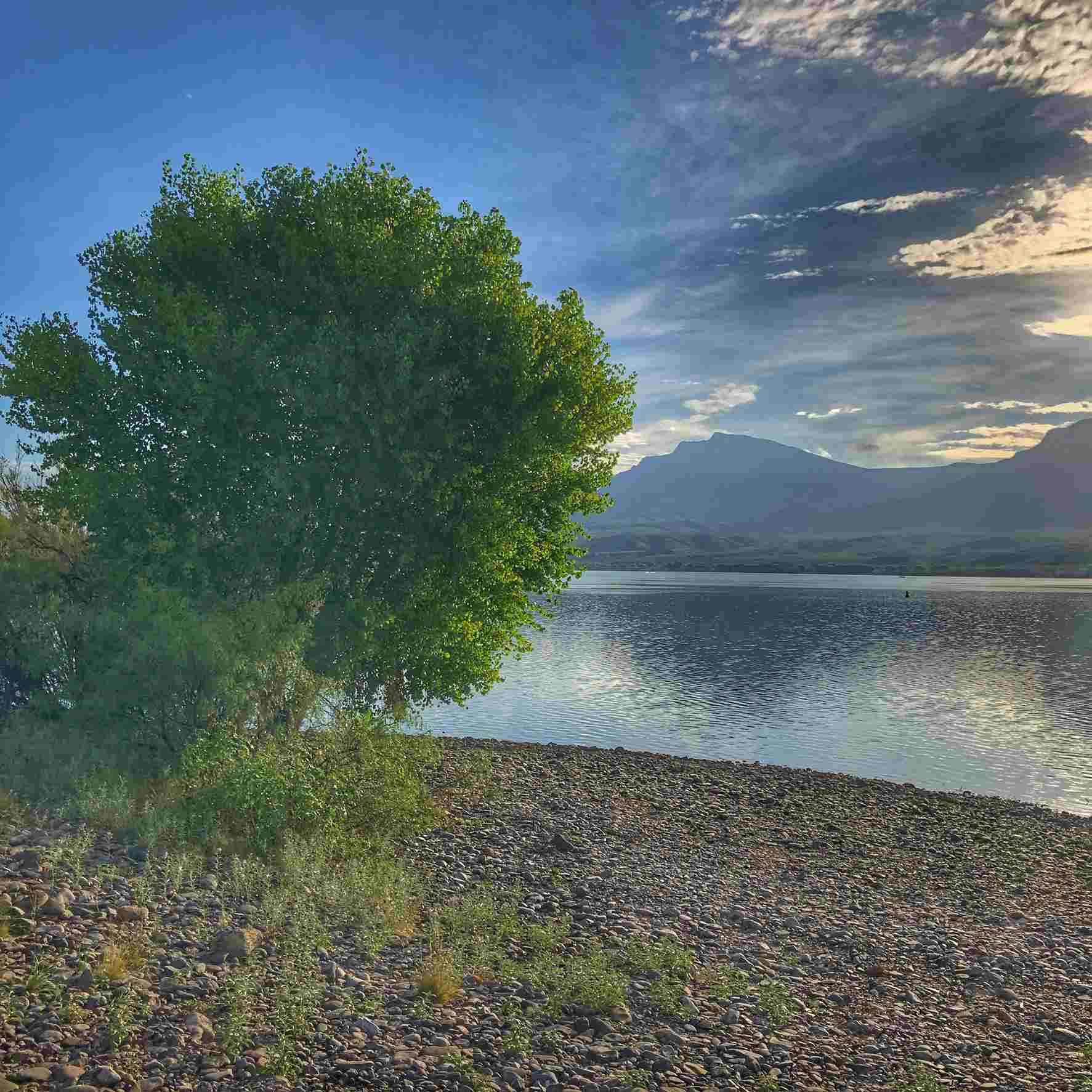
Boating, Kayaking, Floating, Tubing
Two lakes and a river make for an abundance of water recreation, from tubing to boating.
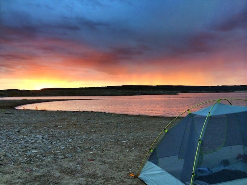
Camping
Enjoy our mild winter weather, open spaces, eye-popping scenery, and all kinds of camping options.
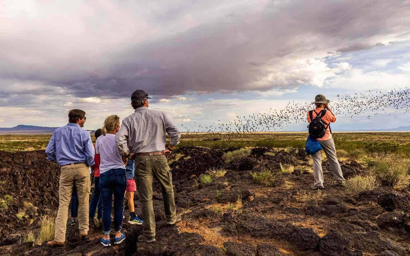
Desert at Dusk: Thursday Night Bat Flight
A tour to the Bat Cave — actually a lava tube — on Ted Turner’s Armendaris ranch. Every day at dusk, a million or so bats emerge and soar into the skies above.
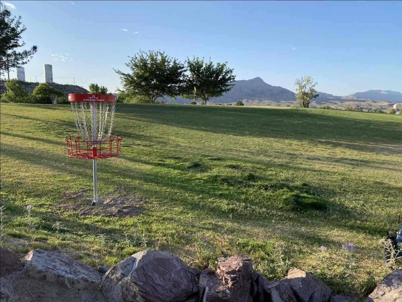
Disc Golf
Disk golf is an affordable, fun, pet-friendly activity. Two courses are open for play at T or C Municipal Golf Course.
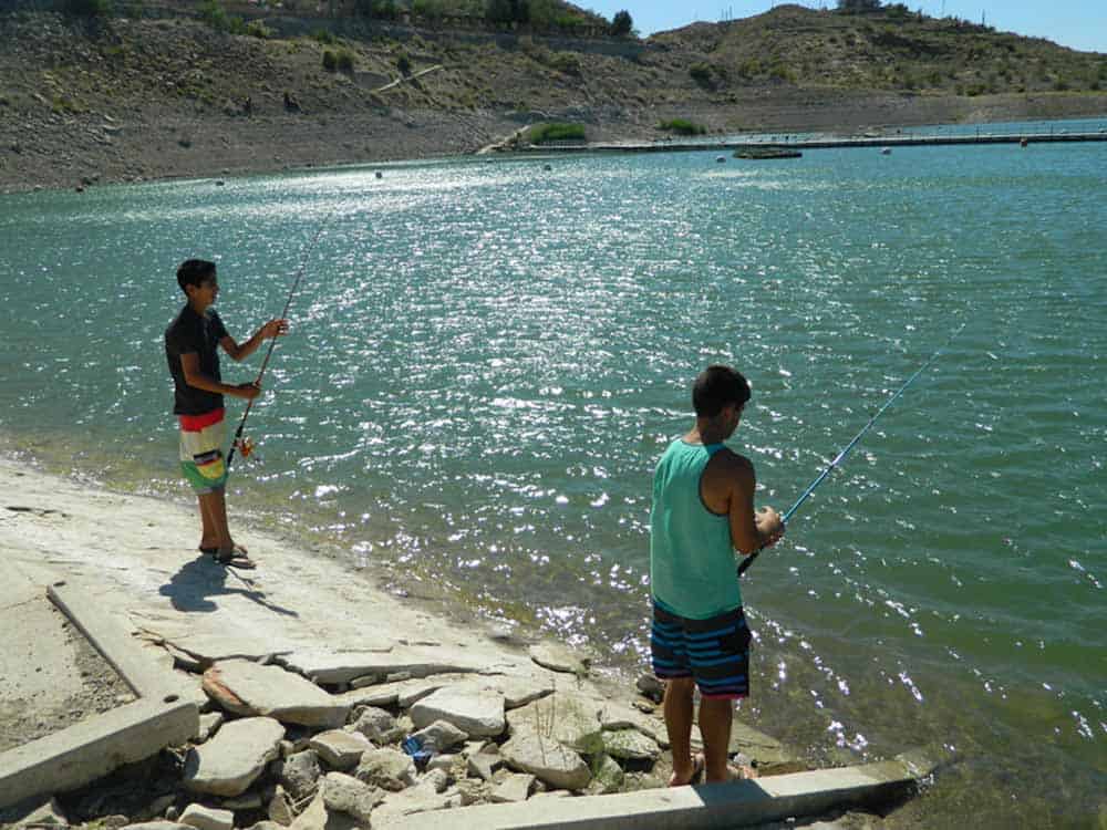
Fishing
Anglers will find numerous opportunities for fishing at Elephant Butte Lake, Caballo Lake, Percha Dam, and the Rio Grande.
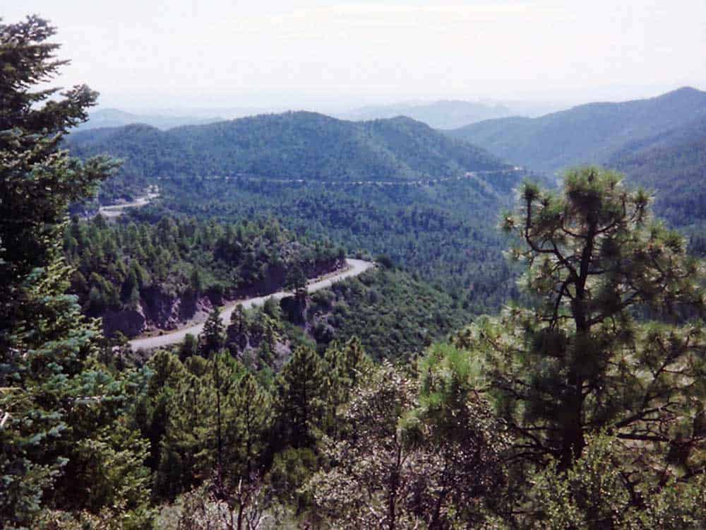
Forests & Wilderness Areas
Two of the finest wilderness areas in New Mexico overlap on the west side of Sierra County.
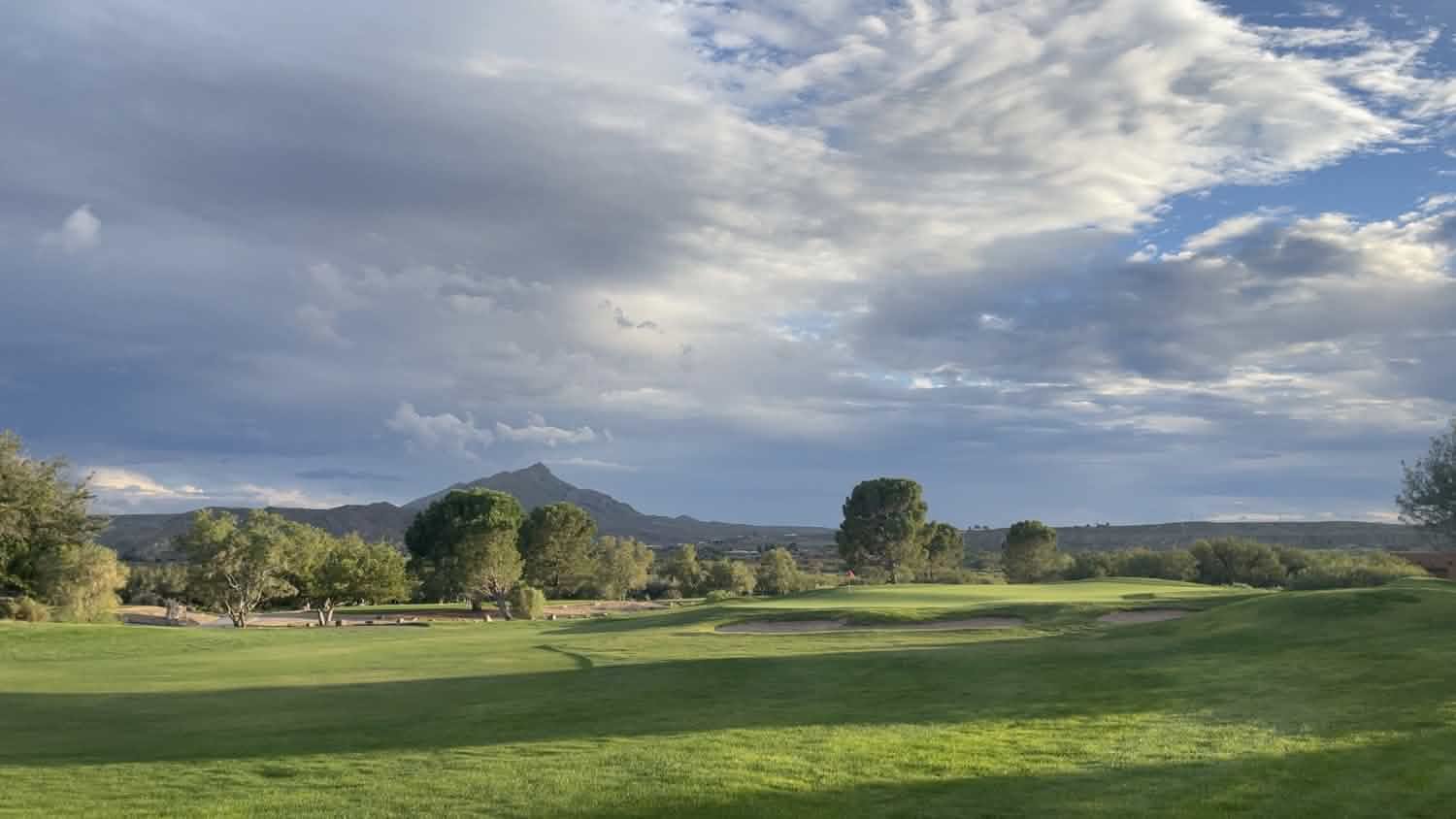
Golf Year Round
Sierra County’s mild desert climate makes it possible to golf all year long at either of our two golf courses.
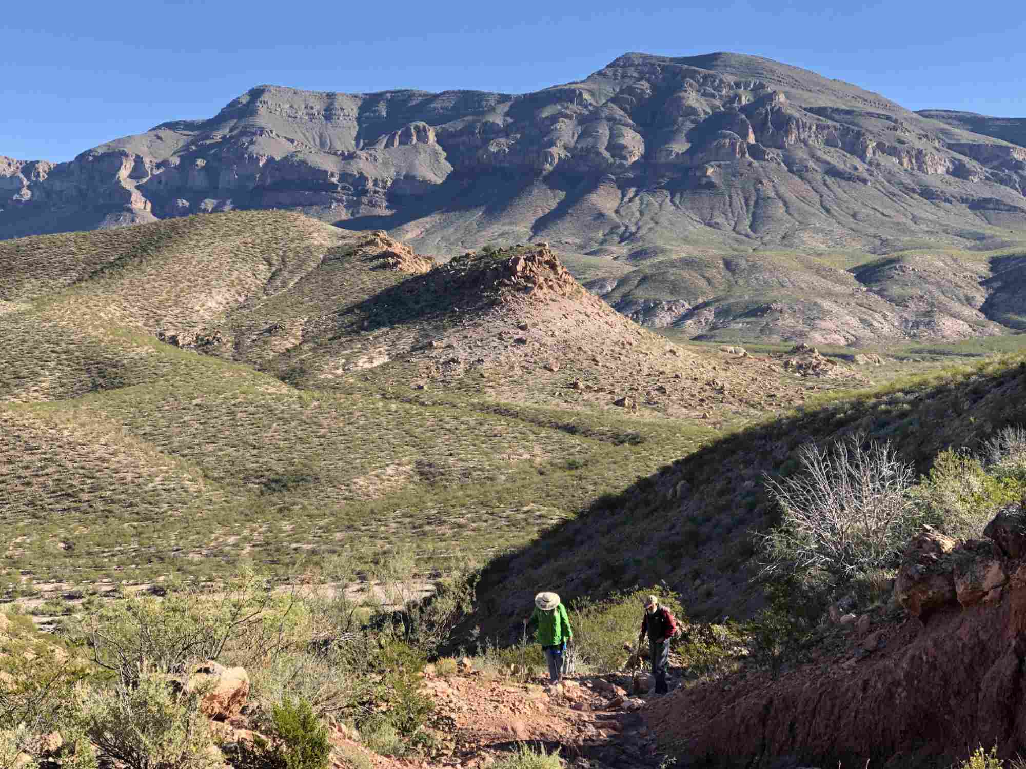
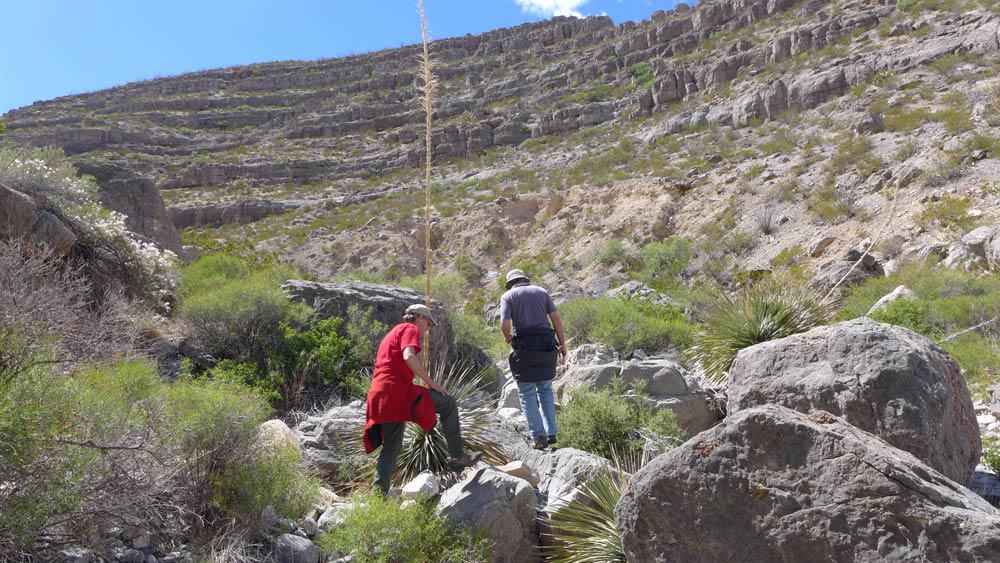
Hikes and Walking Trails
There are miles of hiking trails in Sierra County — you can hit the trail in and around Truth or Consequences, at Elephant Butte Lake, in the Gila Wilderness, and in the desert.
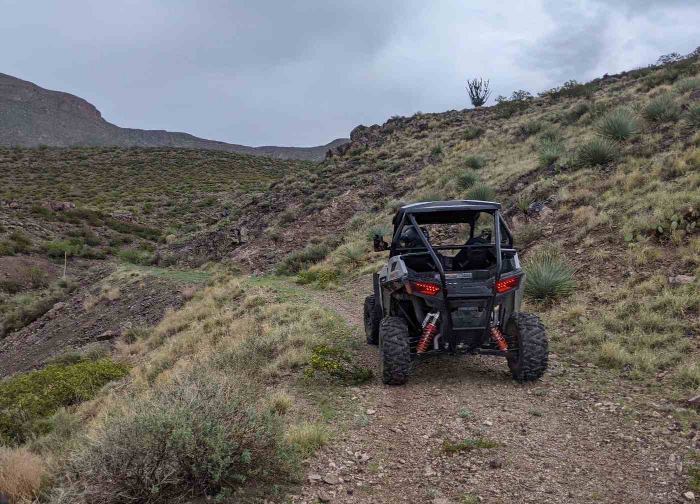
Off-Roading
Bring your OHV and explore trails in Sierra County’s desert and mountains. OHVs are street legal in all municipalities. Please mind the no trespassing signs.
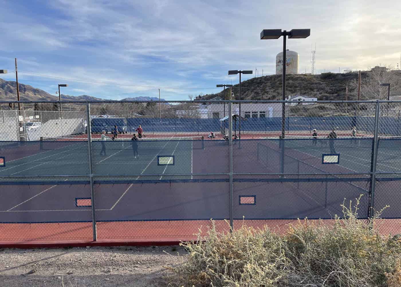
Pickleball & Tennis
Join the group or learn how to play Pickleball at the Gene Speers Tennis courts in T or C.
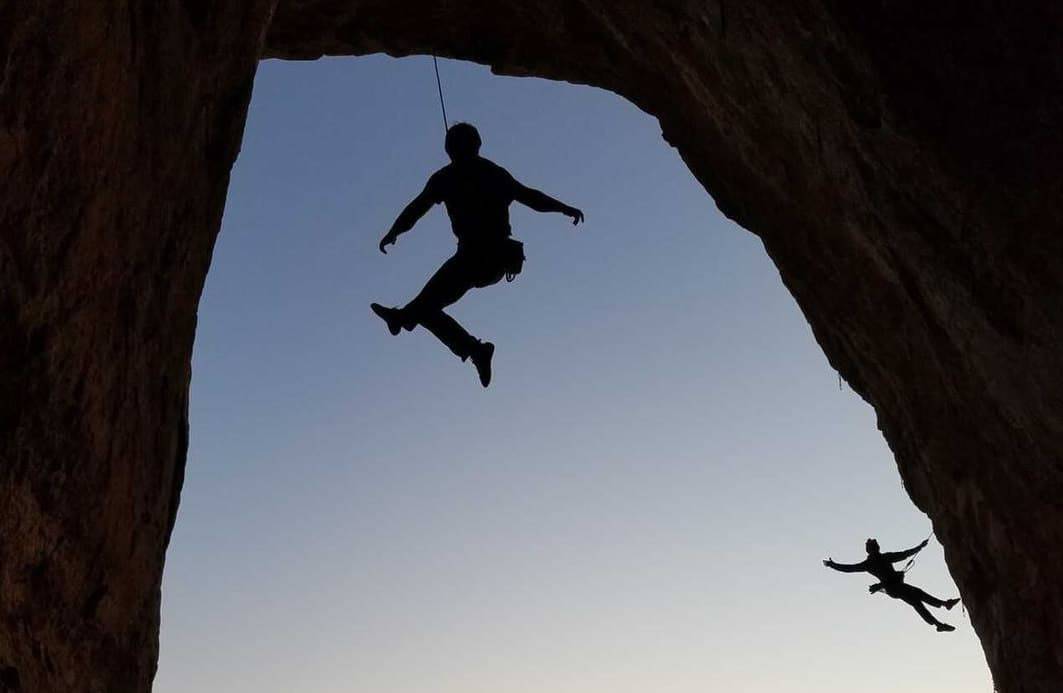
Rock Climbing
Sierra County is home to a few rock climbing crags, all within an hour of Truth or Consequences. The climbing is great and the landscape is truly magnificent.
Rockhounding / Mineral & Gem Hunting
Sierra County is an amazing place to look for rocks. A Rock & Gem Show is held annually.
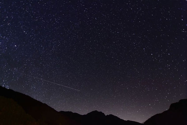
Stargazing / Night Sky Viewing
Our wide open spaces make for superb viewing of stars, constellations, planets, satellites and the International Space Station.
State Parks
Sierra County is home to three great state parks! Each offers a different vibe and varying amenities.
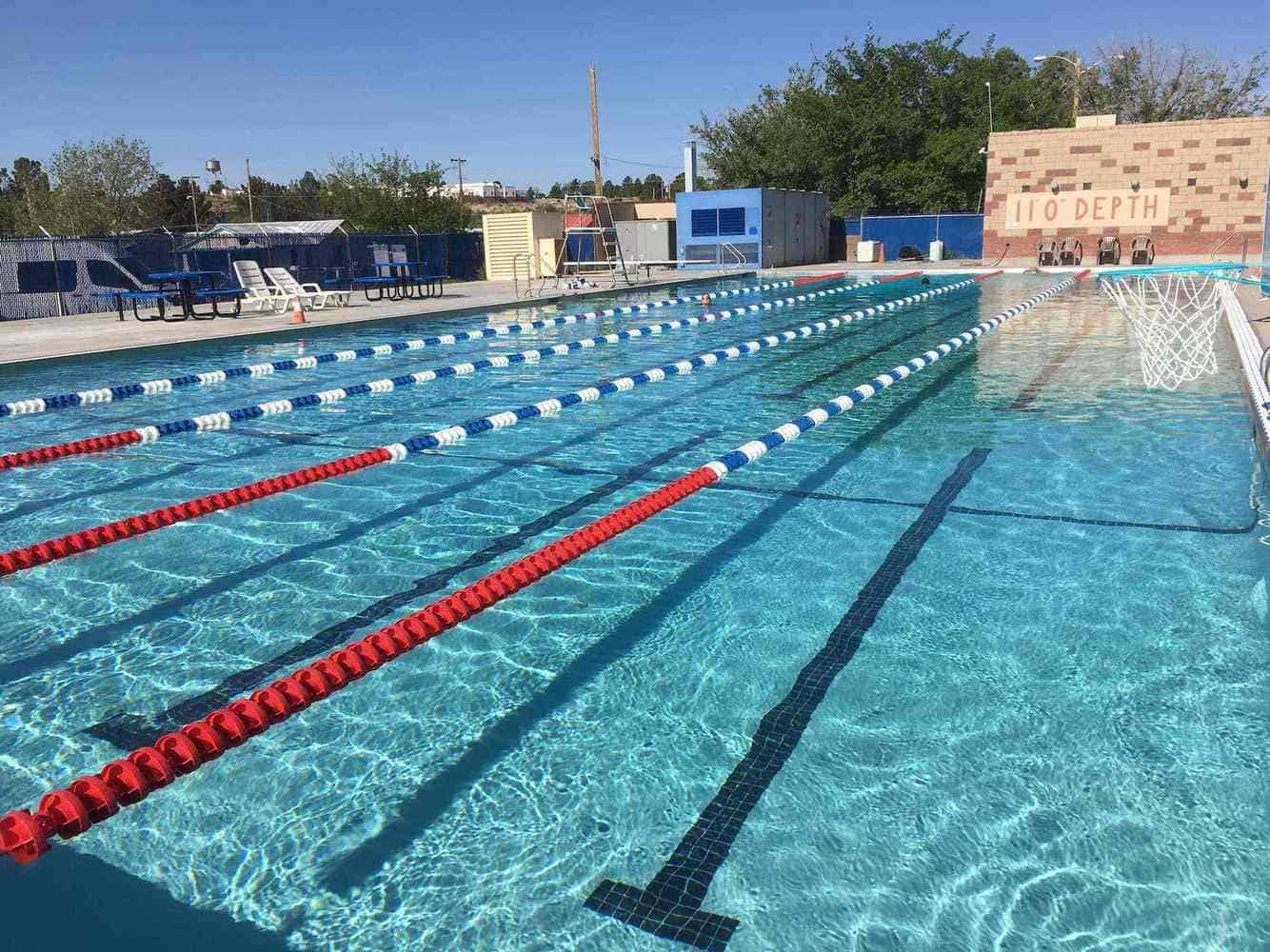
Swimming
T or C Municipal Pool is open during the summer. Swim year-round in the the lakes, or at select lodging locations.
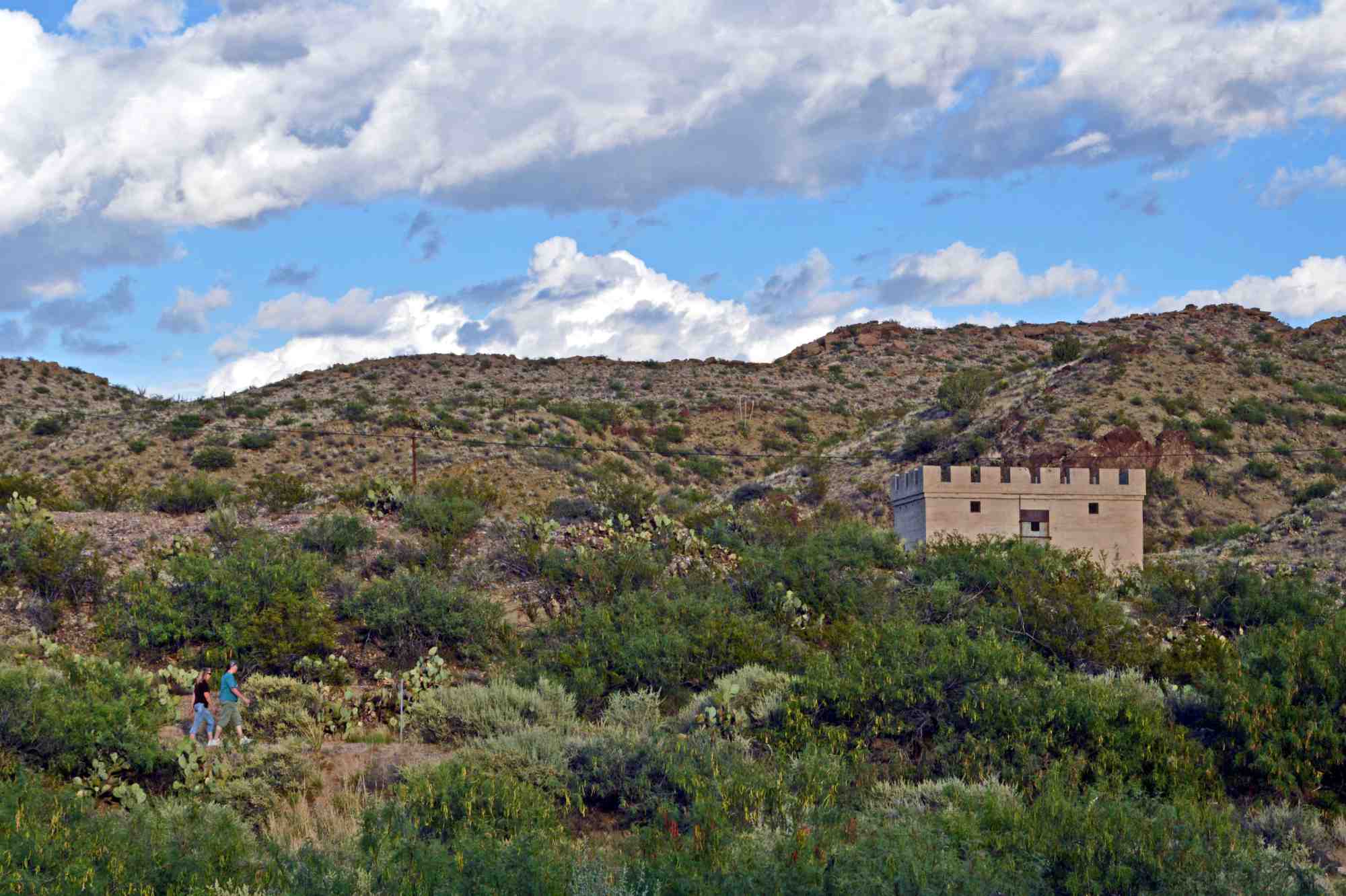
Tours, Guides, Road Trips, Immersive Experiences
How much time do you have? Short tours and days-long immersive experiences are available here.